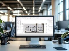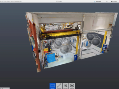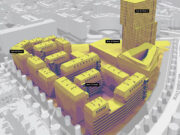
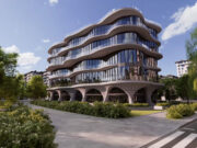



Designing the built environment means working across disciplines, software, and stages of development. But when information gets lost between applications, even the most carefully planned projects can become harder to coordinate. Autodesk Forma aims to make these connections more seamless, bringing site planning, architectural design, and civil engineering into a more integrated digital environment. With new developments announced at Autodesk University 2026, the platform is expanding its scope.
What Is Autodesk Forma?
The Forma environment aims to connect data, people, and workflows across the different disciplines involved in the built environment. Rather than a single piece of software containing multiple tools, Forma is an ecosystem designed to support professionals with different needs and make their work more connected.
With Forma, Autodesk is addressing a longstanding challenge in the AECO industry: interoperability. A single project can involve urban planners, architects, designers, and civil and structural engineers. These professionals often use different software at different stages of the design and construction process, without a seamless connection between their tools. As a result, teams may lose information when they transfer data manually between applications. Autodesk Forma aims to reduce this problem by creating a more connected environment, where data, information, and 3D models can move between the different stages of a project with less friction.
In early 2026, Autodesk announced that Autodesk Construction Cloud (ACC) would become part of the Forma environment. This move further expands the platform’s scope, bringing construction tools and project data into a more connected workflow.
Autodesk Forma Site Design
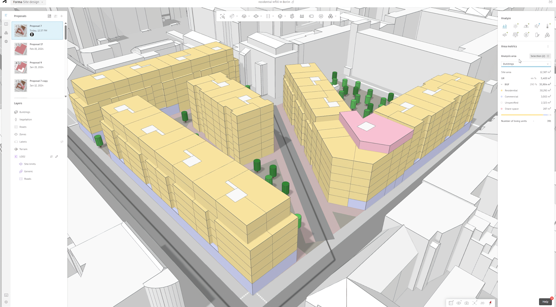
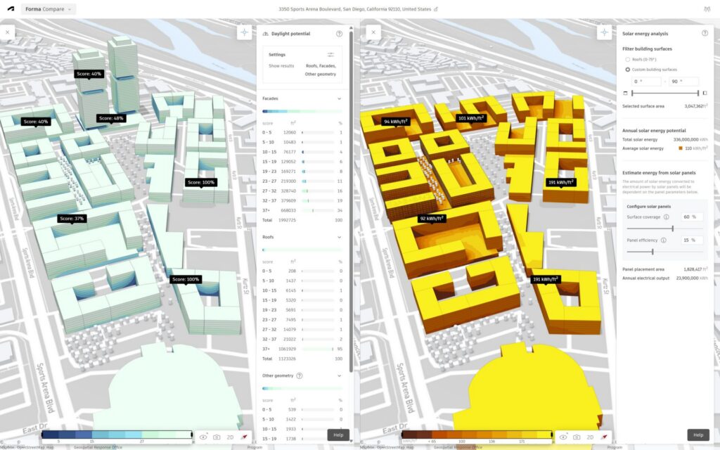
Among the products introduced within the Forma environment, Forma Site Design is the most established. This cloud-based, data-driven software helps designers understand a site and support planning decisions with contextual information and analysis. The software is particularly useful for architects, urban planners, designers, and engineers during the pre-design, programming, and concept stages. It combines site planning, feasibility studies, conceptual design, and early environmental analysis within a single tool.
Forma Site Design includes several key features:
-
Site setup and analysis: Designers can set up a site quickly and access contextual information, including terrain and surrounding buildings.
-
Massing studies: Architects and designers can create massing proposals manually or through generative tools. They can then compare different options and retain greater control over early design decisions.
-
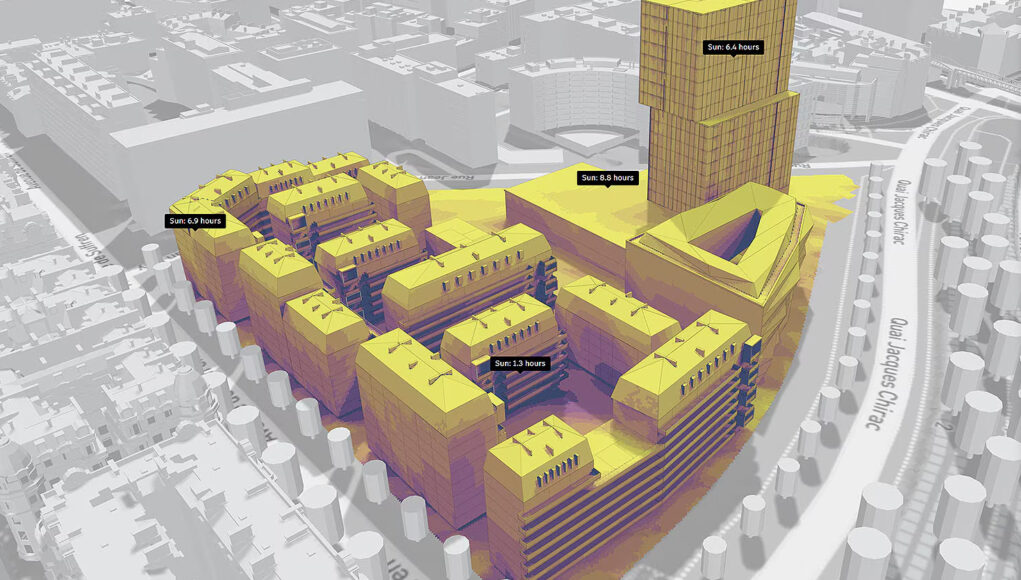
Environmental analysis: Designers can run environmental analyses during the design process instead of switching to another application for every assessment.
-
Feasibility and capacity studies: Forma Site Design helps architects and designers assess whether a project can meet development goals during the early planning stages.
Important Improvements and Upcoming Features
During Autodesk University 2026, the Autodesk Forma team presented several developments planned for the platform. These included Forma Street Design, the integration of Civil 3D as a Forma Connected Client, and Autodesk Assistant for Forma.
Autodesk Forma Street Design
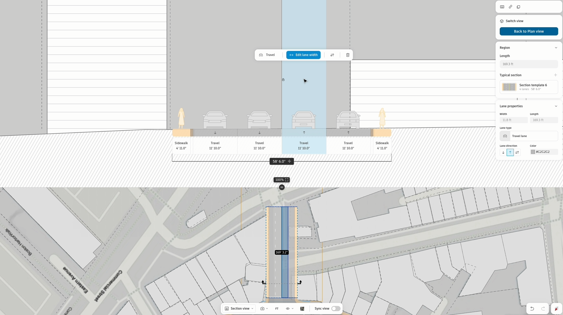
The introduction of Autodesk Forma Street Design follows the platform’s broader goal of connecting different stages of the design process. The software introduces a more integrated approach to street and intersection design.
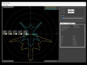
Traditionally, many street design decisions happen after the overall layout has already taken shape. Designers may need to revisit road widths, lane configurations, tree placement, and sidewalk layouts through a series of adjustments across different stages of the project. Forma Street Design aims to make these decisions easier to explore and revise directly during design. The software allows users to work on streets and intersections in both plan and section, adjust intersections interactively, and test turning radii through swept path analysis.
These tools could help urban planners and civil engineers evaluate design options earlier, making it easier to understand how changes affect the overall layout before the project advances further. At the time of the announcement, Forma Street Design was in closed beta and had not yet been released publicly.
From Forma to Civil 3D
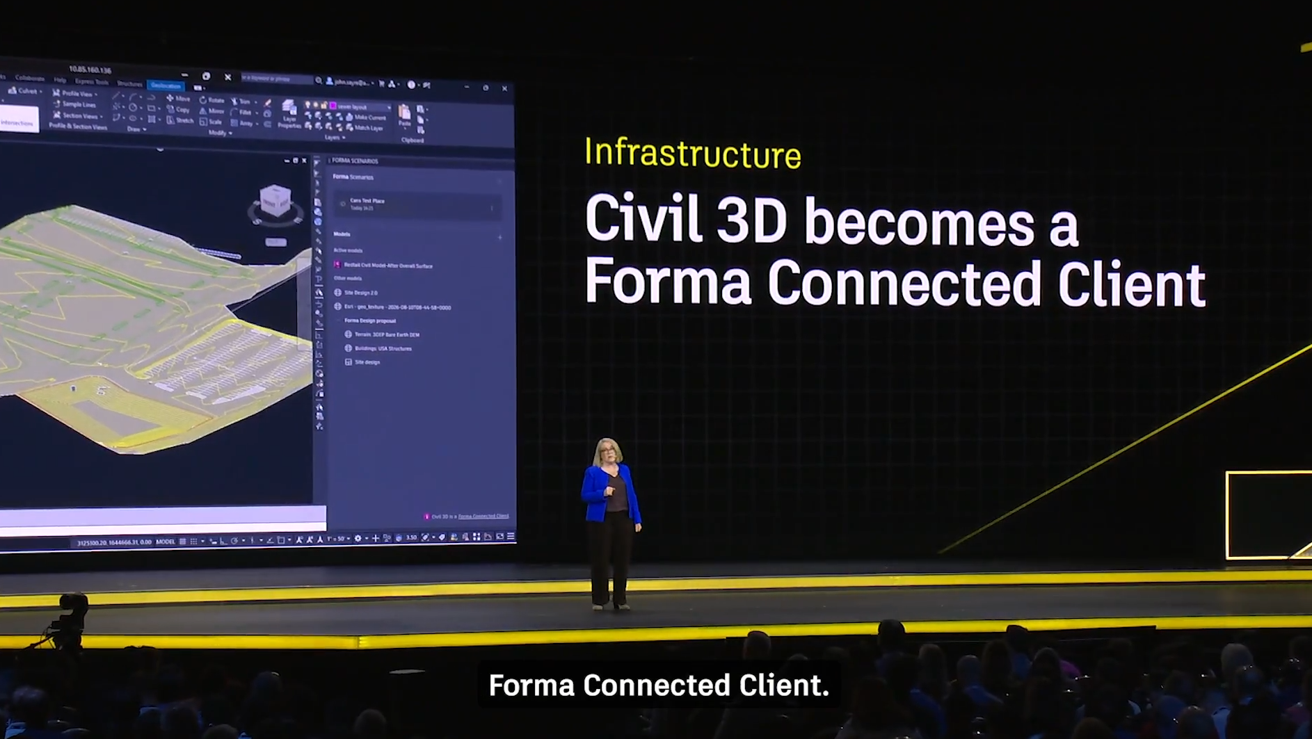
Another important announcement concerns Civil 3D becoming a Forma Connected Client. This integration connects Autodesk’s desktop civil engineering software to the Forma cloud ecosystem, allowing professionals to continue working in their preferred applications while sharing project information across tools.
The proposed workflow uses reference-based interoperability. Civil 3D can reference data from Revit and Forma, while those applications can also access information from Civil 3D. This approach aims to reduce the need to recreate project data manually when moving between software. For engineers, the integration could make it easier to access relevant design information directly within the applications they already use.
Autodesk aims to bridge the gap between early-stage design and detailed engineering through this connection. The company presented the following workflow as an example:
-
Early design: Engineers, architects, and urban planners collect site data and explore different design options.
- <
Detailed design: When civil engineering work begins, teams can use the information already collected instead of reconstructing the project data from scratch in Civil 3D.
As a result, Civil 3D’s role as a Forma Connected Client goes beyond saving time. By reducing information loss and duplication, the integration could also help different professionals collaborate more effectively throughout the project.
Autodesk Assistant Inside Forma
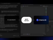
Autodesk Assistant is also coming to the Forma environment, extending AI-assisted operations into early-stage design and site analysis.
During the demonstration at Autodesk University 2026, an architect asked Autodesk Assistant to retrieve several pieces of contextual information, including orthophotos. The assistant handled multiple requests in parallel, potentially replacing several separate manual operations.
The key idea is to let users interact with the software through natural-language instructions rather than requiring them to navigate every tool manually. This could make certain operations more accessible to professionals with different levels of experience, while helping experienced users complete routine tasks more efficiently.
However, the practical value of this approach will depend on the functions Autodesk Assistant can access and how reliably it handles real project requirements.
A More Connected Infrastructure Workflow
Autodesk’s recent Forma announcements point towards a more integrated approach to urban planning and civil engineering. Forma Street Design aims to make street layouts and intersections easier to explore during early design, while the Civil 3D integration seeks to connect preliminary planning with detailed engineering. Autodesk Assistant adds another layer by allowing users to access supported functions through natural-language instructions. The common goal is to reduce the fragmentation that often characterizes multidisciplinary projects.
The extent of these improvements will depend on how the announced features develop and how effectively they work together in practice. Nevertheless, the direction is clear: Autodesk Forma is evolving beyond a tool for early-stage site planning into a broader environment connecting design decisions, technical workflows, and project information across the built environment.
To find out more, visit the Autodesk Forma official Site.
– article by Giorgio D’Ambrogio